


22 Aug Thomas Creek Trail
The Thomas Creek Trail is a popular hiking destination for scores of outdoor enthusiasts every day, with the ample parking at its trailhead at the end of Timberline Drive, off the Mt. Rose Highway in Reno. On a typical spring or fall weekend, there might be hikers, horses, and bike riders sharing the path.
After this 5 mile stretch begins the Upper Thomas Creek Trail, which continues nearly another 10 miles up into the Mt. Rose Wilderness, with more than 3,000′ of elevation gain. Bikes are not permitted in the Mt. Rose Wilderness part of the trail. The trail ends at its intersection with the Rim to Reno North Loop Trail.
The trail was constructed in 2013 and 2014. Forest Service Ranger Dave Harrison was a leader in that effort. We ran into Harrison, still engaged in the maintenance of the trail, while hiking in August, 2021.
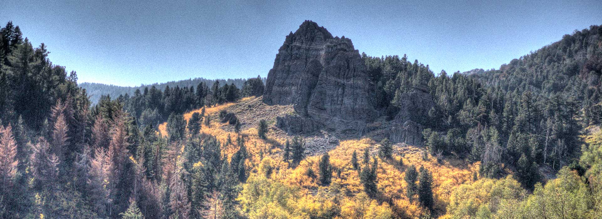
Click the red hotspots to explore three different view of the Upper Thomas Creek Trail in virtual reality. These panoramas were made in October of 2020, when the aspens were in their full autumn finery, at the 8,500′ level, at about this location. A version optimized for a hand-held device is here.
The photographs in the gallery below were made during a number of different visits to the area.


No Comments