


03 Jul Chimney Springs: A Geological Wonderland
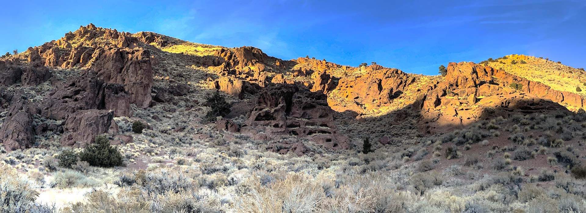
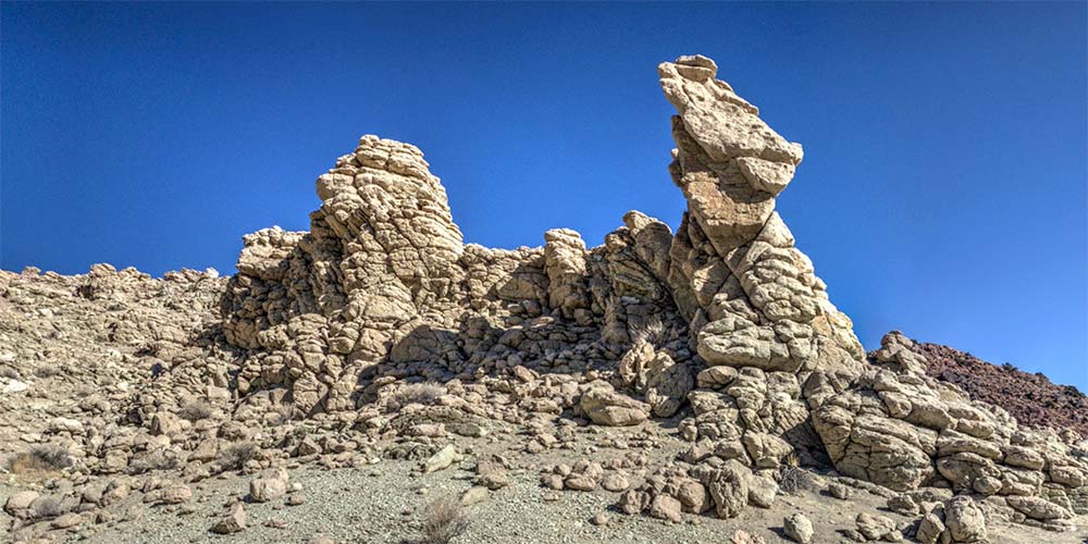
The spectacular scenery of this area is not easy to reach, even though it’s only two miles from Pyramid Highway. The deeply rutted dirt roads require a high clearance 4WD vehicle and an attentive driver. Exact driving directions are supplied in the pamphlet linked at the bottom of this page. If you make this tour yourself you will encounter fossil deposits, the porcine visage of Pig Rock, a narrow riparian canyon, the marvelous white tuff hoodoos, abandoned uranium mine shafts, and the majestic formations beneath the towering face of Big Mama. And more.
Click the image above to enter the virtual-reality tour in a new browser window.
Double-click for full-screen view.
The virtual-reality tour linked below begins with a satellite view of the entire Mullen Pass / Chimney Springs area. When you click any of the red targets on the satellite view, you will enter that particular VR view. You will then see a new button on the right of the control bar at the bottom of the image; this button will return you to the satellite view. There are 37 VR locations in the tour.
While there are stunning panoramic vistas to enjoy shortly after leaving the highway—vistas that would invite state-park status in most any state besides Nevada—our VR tour begins with the Miocene-age diatomite deposits you will see after clicking on the red hotspot at the lower right of the satellite view that begins the tour.
The text below, adapted from the pamphlet linked at the bottom of this page, explains these deposits in detail.
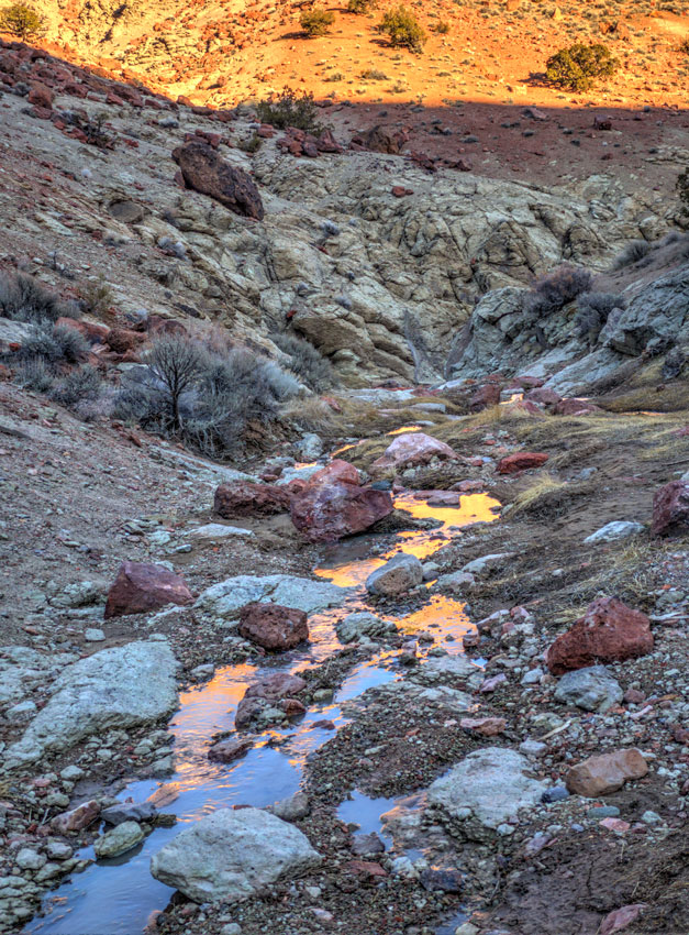
Riparian Canyon
Within 100 feet or so of the road you will find shallow trenches that have been dug to expose the plant-fossil-bearing horizon in the diatomite unit of the Pyramid Sequence. Basalts that are interbedded with the ancient diatomaceous lakebeds have been radiometrically dated at 15.6 million years old. Leaf impressions are faint, white-on-white, so look carefully at broken rock surfaces to find them.
This fossil-plant site was discovered in 1951 by Dr. Ira La Rivers of the Biology Department, University of Nevada, Reno. Initial collections were made by Dr. Daniel Axelrod (then at the University of California, Los Angeles) in 1952. Later, in 1965 Professor Axelrod and Howard Schorn collected and recorded 1,414 fossils from the site, the best of which are now housed at the Museum of Paleontology, University of California, Berkeley. Professor Axelrod published a monograph on the fossil flora in 1992 in which he recognized a total of 41 different species at this site. Of these, five types of plants account for more than 80% of the total specimens. They are, in order of abundance: alder, evergreen oak, birch, and maple.


Dr. Axelrod’s abundance counts tell us what types of fossil plants we are most likely to collect at this site but they do not necessarily mean that those species were present in these percentages in the Miocene forest. Many factors determine which leaves or other plant remains are preserved, such as the distance the tree lived from the lake, the size and weight of the leaf, and the durability or fragility of the leaf. These and many other factors of the deposition, burial, and finally our finding the fossils determine the numerical abundance of species in a fossil flora.
The 41 fossil floras represented here include six conifers and 25 hardwood species. The conifers include pine, spruce, hemlock, fir, and swamp cypress. Both evergreen and deciduous hardwood trees and shrubs grew around the relatively small (probably a few square miles) lake. The abundant oaks, alders, birches, cottonwoods, willows, sycamore, rose, mountain-ash, and swamp cypress probably grew close to the lake and the streams coming into the lake.


The composition and physical nature of the leaves indicate that the fossil forest lived where the mean annual temperature was about 45°F, and annual precipitation was about 35 inches evenly distributed throughout the year. It is quite striking to compare the estimated temperature and precipitation for these fossils to that of the present-day Reno area, where the mean annual temperature is about 50°F, and the annual precipitation of about 7.5 inches occurs mainly in the winter months.
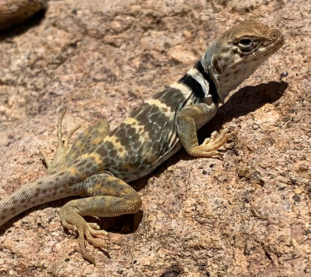
Great Basin Collared Lizard
During middle Miocene time there was probably no mountain range like the Sierra Nevada to create a rain shadow like today in Nevada. Recent work suggests that this region, and thus the ancient lake, stood at an elevation of about 10,000 feet in the middle Miocene, and that the valleys have since dropped some 5,000 feet, contributing to the change from the somewhat cooler Miocene mean annual temperatures to the present warmer mean annual temperature.
The edges of these deposits may run into coarser shore, strand, and beach deposits. A large variety of volcanic rocks is exposed in the hills surrounding the fossil-leaf site. The massive cliff-forming rocks to the north of this site are flow domes of rhyolitic to dacitic composition. They are approximately 23.5 million years old.
Text for this page has been adapted from the 2012 pamphlet “Tuff All Over” (Educational Series E-52), from the Nevada Bureau of Mines and Geology at the University of Nevada, Reno. The publication contains the notes for a field trip: “Exploring Faulted Volcanic Terrain in the Painted Hills, Virginia Mountains, West of Pyramid Lake.“ It was authored by D. LaPointe, J.G. Price, James E. Faulds, Craig M. dePolo, and David A. Davis.
No Comments