30 May The Lava Beds; Elephant Head Rock
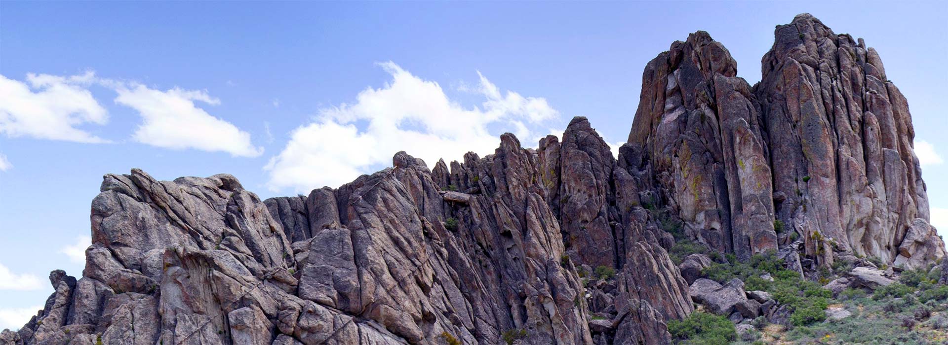
In a Sierra Club/Meet-Up event on 5/26/13, ten hikers and trip leader David VonSeggern drove two hours from Reno in the direction of the Black Rock Desert. About 8 miles south of Empire we turned east onto a surprisingly smooth 3-mile unimproved route up to the summit of the Selenite Range. The road then continued east for 16 miles, dropping down into Betty Canyon and then toward the east of Kumiva Valley. From there we headed north for about 6 miles towards Dry Mountain, turning east into the apply-named mouth of Trail Canyon. There the road ended in the canyon after about 3 miles, and we began our 7-mile hike (round-trip) up about 1,000 feet to the top of this spectacularly scenic granite plateau misnamed “The Lava Beds.” As the viewer may recognize from the photos, the entire landscape is dominated by granite boulders and outcrops. In the virtual-reality environment below click the hotspots to follow our day, beginning where the road tops the Selenite Range and culminating with two views of the Elephant Head Rock, with its natural arch 40 feet across and 20 feet high.
Click and drag to explore the Lava Beds hike to Elephant Head Rock.
Click here to see the location in Google Maps.


No Comments