


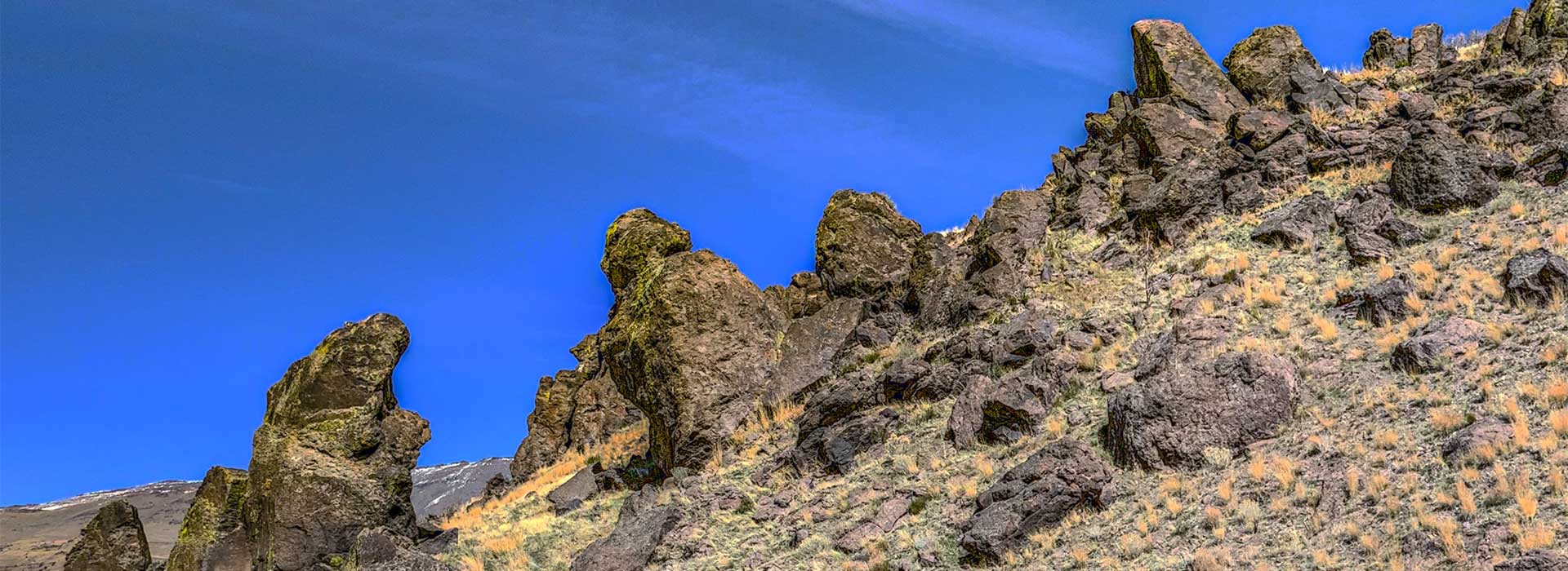
03 May McKissick Canyon
A 3-mile hike with 2,000 feet of elevation gain, the trail up McKissick Canyon leads to a stunning view over the valleys in the desert north of Reno, with rock-scrambling access to the peaks of the Dogskin Range. The trailhead is 15.4 miles past the turnoff onto Winnemucca Ranch Rd. from Pyramid Highway. Although much of the drive on Winnemucca Ranch Rd. to the trailhead is unpaved, it is suitable for any vehicle.
The trail is best in the spring or the late fall, as it entirely uphill all the way to the end; a challenging prospect in the hotter months. You may find the occasional ORV on your hike, or (seasonally) some cattle near the two watering stations. The VR environment includes some of the alternate trails offering a variety of viewpoints at the top of the canyon.
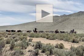
Near the trailhead a herd of cattle were being driven down the Winnemucca Valley, perhaps from their rangeland up in McKissick Canyon.


No Comments