07 May Lagomarsino Canyon Petroglyphs
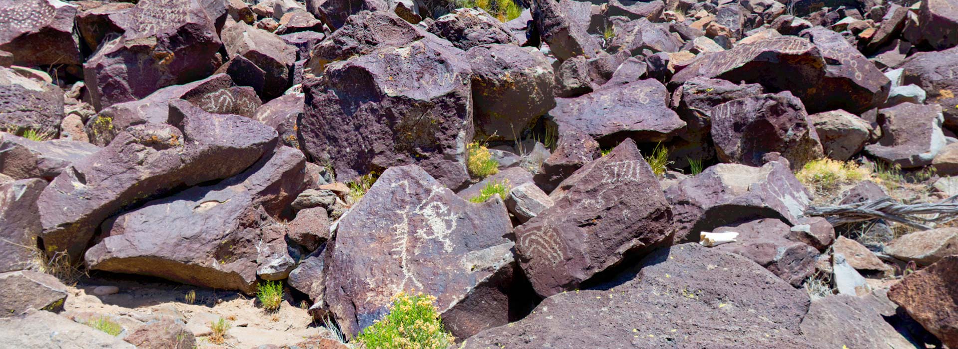
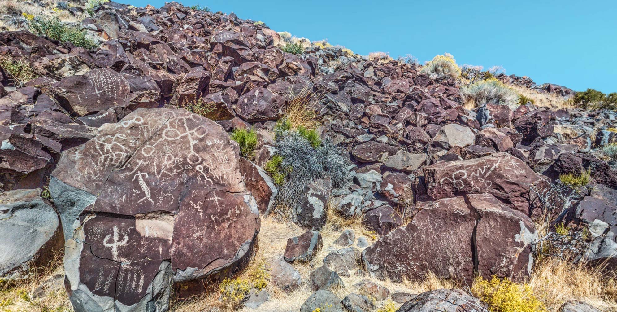
Lagomarsino Canyon, one of only eight Nevada rock art sites honored on the National Register of Historic Places, is a quarter mile long. It consists of 2229 rock art panels, some created as long as 10,000 years ago. The site is located in a remote Storey County canyon between Virginia City and Lockwood.
Lagomarsino was first noted by a non-native observer when Julian Steward recorded it in 1929, basing his work on a 1904 report from a local Reno resident. The site was more rigorously recorded by researchers from the University of California, Berkeley in the 1950s. This work was the only official archaeological record of the site until the Nevada Rock Art Foundation’s project, starting in June 2003. Led by Alanah Woody, the Foundation, in partnership with Storey County, the Nevada State Museum, the Natural Resources Conservation Service, and other agencies, commenced a program of detailed archaeological documentation at the site. The report of this work may be found in this Nevada Rock Art Foundation’s e-book.
The research suggested that “hunting magic” could be one interpretation of the rock art at the site. Lagomarsino’s favorable hunting location, and the rock art motifs, including mountain sheep and possible portrayals of piñon cones, suggested that the depiction of such natural objects may have been intended to invoke their presence or increase their numbers.
This 11-node VR environment, photographed over two different excursions (May, 2015, and September, 2018), is comprised of both aerial and ground-based 360° panoramas. The images have been optimized to make the petroglyphs more easily discernible.


Carlos
Posted at 16:05h, 01 DecemberIs it possible to visit Lagomarsino Petroglyphs?
Howard Goldbaum
Posted at 07:57h, 02 DecemberYes. A long hike from Lockwood or from Virginia City.
Zachary
Posted at 13:56h, 06 MayThe name comes from mining district Maps. Lagomarsino being a prominent claim. In native oral tradition among the tribe . The site is sanctuary, much like holy ground. But oral tradition also says that a evil spirit lives in a spring up there. As well that it was a place to get porcupines, a easy staple of native diet.
It is also said that papago grows there.
It was at one point a local self created utopia, Much like the valley of david north of Reno.
Mike Chesser
Posted at 15:38h, 24 SeptemberSome of the petroglyphs looked like a line of scrimmage and football play .if you check out the terrain above the cliff it is a high plains with a hidden crevice where they could sneak up in groups and drive the animals off the cliff
Mike Chesser
Posted at 15:48h, 24 SeptemberSome of the petroglyphs are hunting techniques they used to drive the animals off the cliff !! I studied the terrain around the cliff and it makes complete sense there is a vast grazing field right above the cliff and half a mile back from that is a straight a crossed gorge where you can sneak in undetected That’s why it was a very popular hunting place ! They hunted in groups .
Sally Lagomarsino
Posted at 07:36h, 10 MarchDo you know where the Lagomarsino name came from? Was the local Reno resident’s surname Lagomarsino?